 By NED ROZELL August 05, 2010
Though a 1967-type flood will probably never happen again thanks to the Chena River Lakes Flood Control Project, August continues to be the wettest month in Alaska's Interior. The jet stream is to blame. 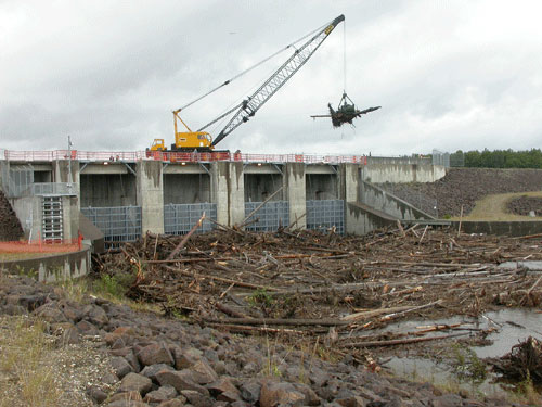 Chena River Lakes Flood Control Project in August 2008. Photo by Ned Rozell.
In August, the jet stream shifts position; instead of belting Earth from west to east, it tilts northward. This shift leaves the Interior as vulnerable as a football quarterback with a linebacker rushing at him between two blockers. By carrying moist ocean air from the southwest, the jet stream slips past the obstacles of the Alaska Range and Kuskokwim Mountains. Most of the year, these natural barriers force moist air to rise, then wring out wetness on the ocean-facing sides of the mountains. During August, moist air rushes through the diagonal lane made by the Alaska Range and Kuskokwim Mountains, soaking the Interior after hitting the Tanana Hills and White Mountains. In 1967, 6.93 inches of rain fell between August 8 and 15 near Chena Hot Springs, which is located about 60 miles west of Fairbanks, deep within the basin of the Chena River. The average rainfall for the whole month of August is usually 2 to 4 inches in the hills. In 1967, the watershed couldn't handle the immense pulse of water. "If you get a high proportion of your yearly precipitation in a day or two, the ground won't tolerate it," Stevens said. Fairbanks was submerged below as much as five feet of water during the 1967 flood. Dry areas included the University of Alaska Fairbanks, which sits on land higher than 500 feet above sea level, and areas to the north and west of the city that are higher than about 450 feet, including Farmers Loop Road. Everything to the south of Farmers Loop was underwater for several days until the Chena River shrunk back to its banks. To prevent future floods, Congress authorized the construction of the Chena River Lakes Flood Control Project. Designed and operated by the U.S. Army Corps of Engineers, the flood control system became operational in 1979. It consists of four gates on the Chena River about 40 miles upstream from Fairbanks and an eight-mile dam with a 50-foot wall from the gate to the Tanana River. When high water threatens Fairbanks, engineers partially close the gate to shunt some of the water around Fort Wainwright and Fairbanks. Project Manager John Schaake said engineers have throttled down the Chena River 14 times since 1981. Water from the Chena River has reached the Tanana River by way of the flood control project just once, during a period of high snowmelt in the spring of 1992.
Ned Rozell [nrozell@gi.alaska.edu] is a science writer at the institute. Publish A Letter in SitNews Read Letters/Opinions
|